Log in
All resources
Create a design
35,787 Free Images of 1815 Maps
maps in the library of congress
pennsylvania
maps made in the 17th century
atlantis magni tomus tertius (biblioteca comunale di trento)
maps by pieter schenk (i)
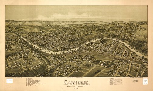
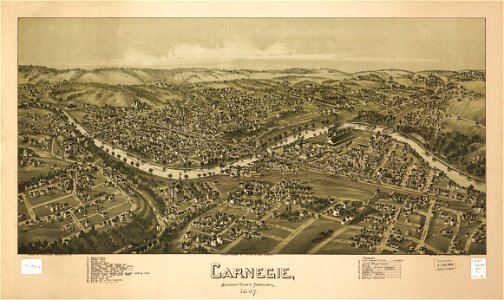
1897 maps of allegheny county
maps by nicolaes visscher i
atlas van der hagen
atlas de wit 1698
johann baptist homann
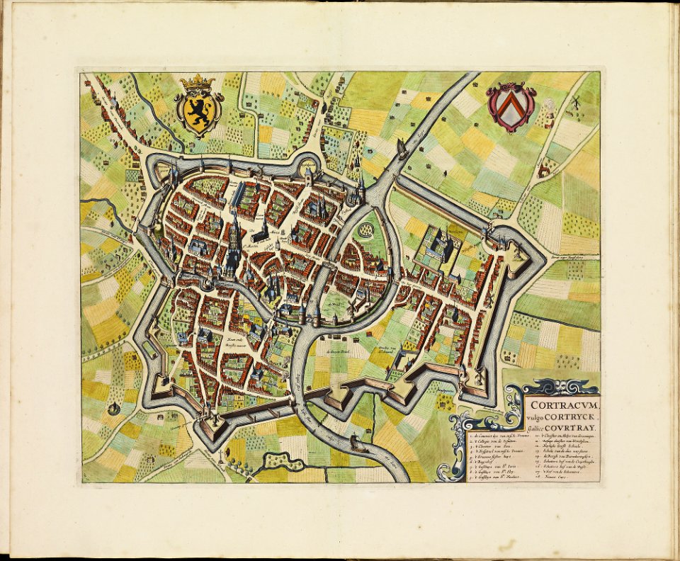
old maps of kortrijk
atlas de wit 1698
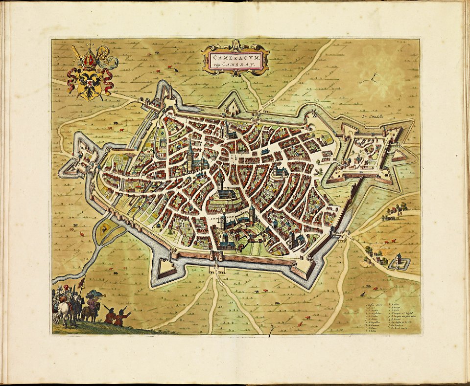
old maps of cambrai
atlas de wit 1698
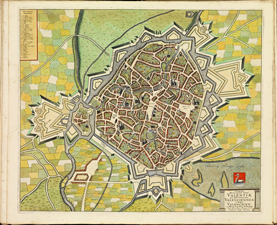
maps of valenciennes city walls
atlas de wit 1698
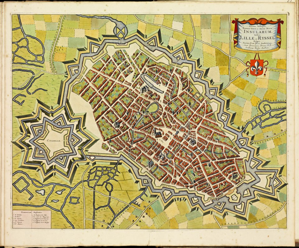
maps of lille city walls
atlas de wit 1698
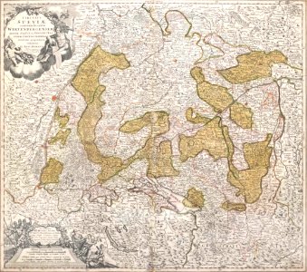
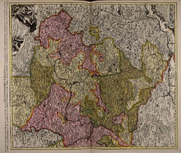
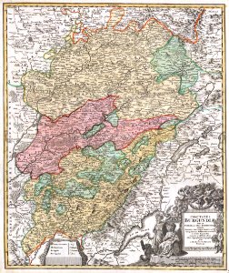
1720s maps of baden-württemberg
johann baptist homann
maps by jacob van deventer
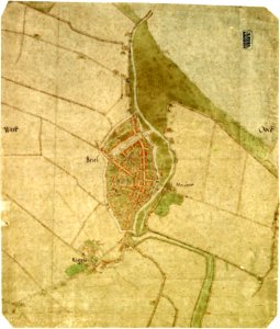
old maps of brielle
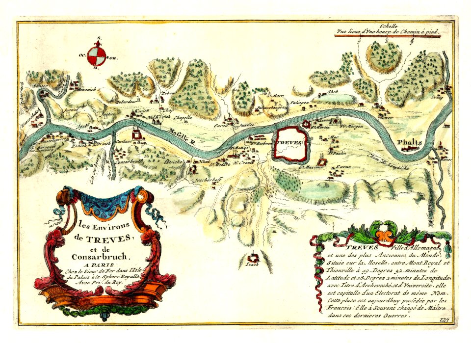
nicolas de fer
1692 maps
maps by frederick de wit
copper engraving
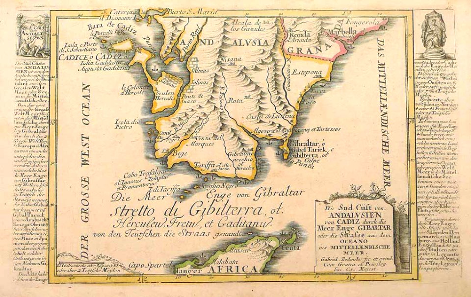
history of andalusia
gabriel bodenehr
old maps of lake constance
old maps of switzerland
pennsylvania
carnegie
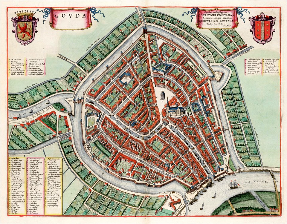
maps by willem and johannes blaeu
atlas van loon
pennsylvania
carnegie
pennsylvania
carnegie
johann baptist homann
1762 maps
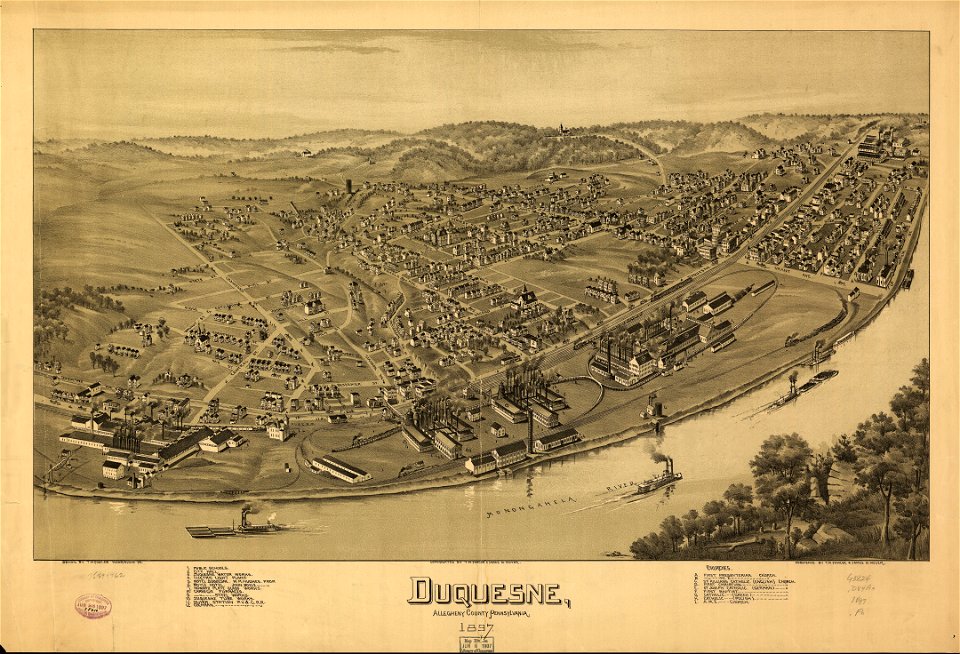
pennsylvania
duquesne
pennsylvania
duquesne
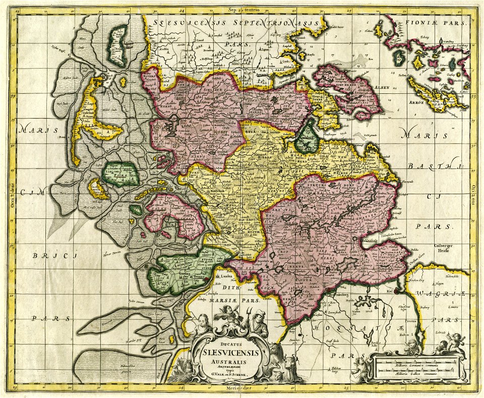
17th-century maps of schleswig-holstein
gerard valck
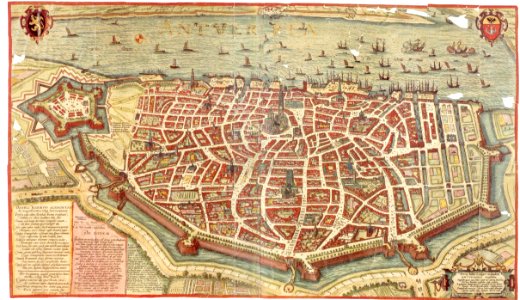
maps and topographical views by joris hoefnagel
maps of antwerp
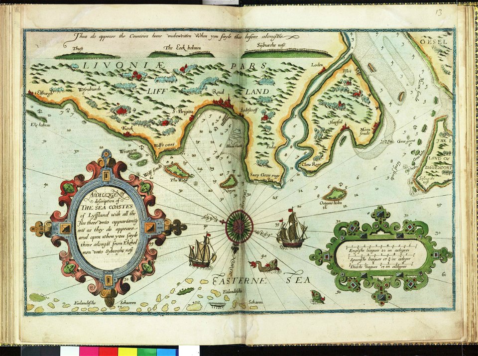
lucas janszoon waghenaer
1588 maps
lucas janszoon waghenaer
1588 maps
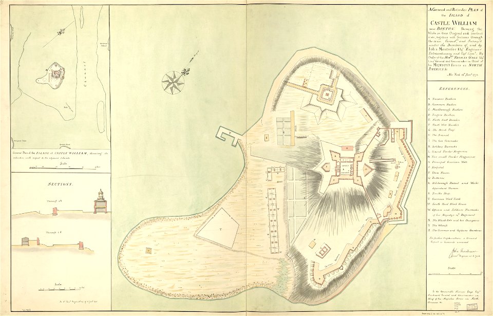
fort independence (massachusetts)
maps in the library of congress
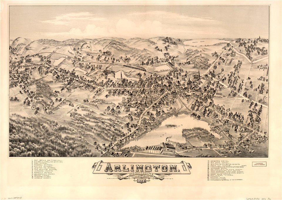
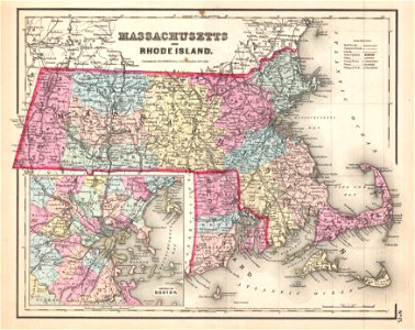
massachusetts
o. h. bailey
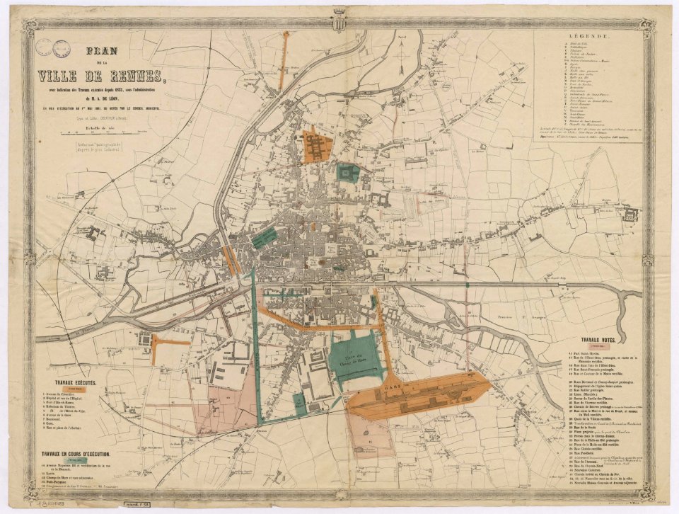
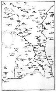
rennes in the 1850s
old maps of rennes
1861 in bretagne
1861 maps
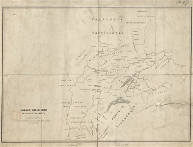
old maps published in the gallia christiana
maps of catholic dioceses of france
1680s maps of baden-württemberg
1681 maps
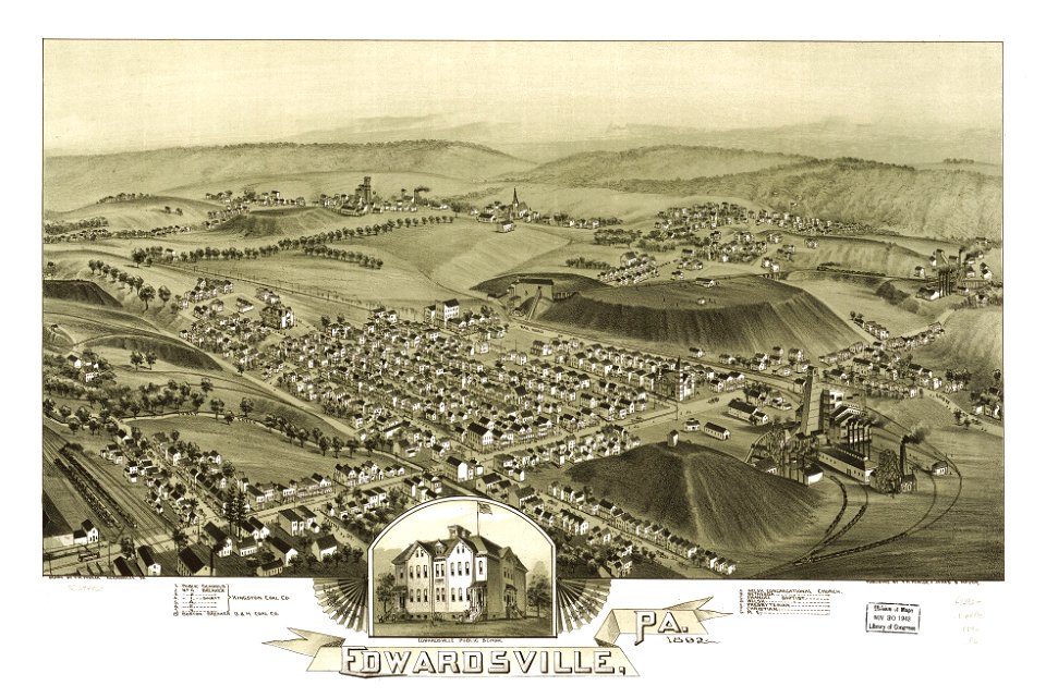
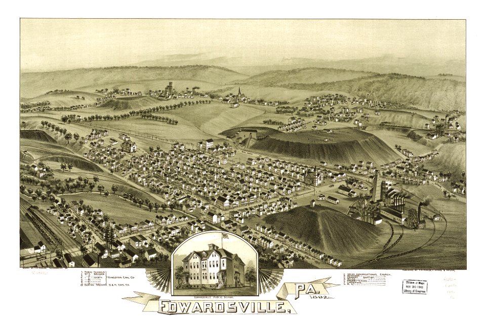
pennsylvania
edwardsville
pennsylvania
edwardsville
maps in the library of congress
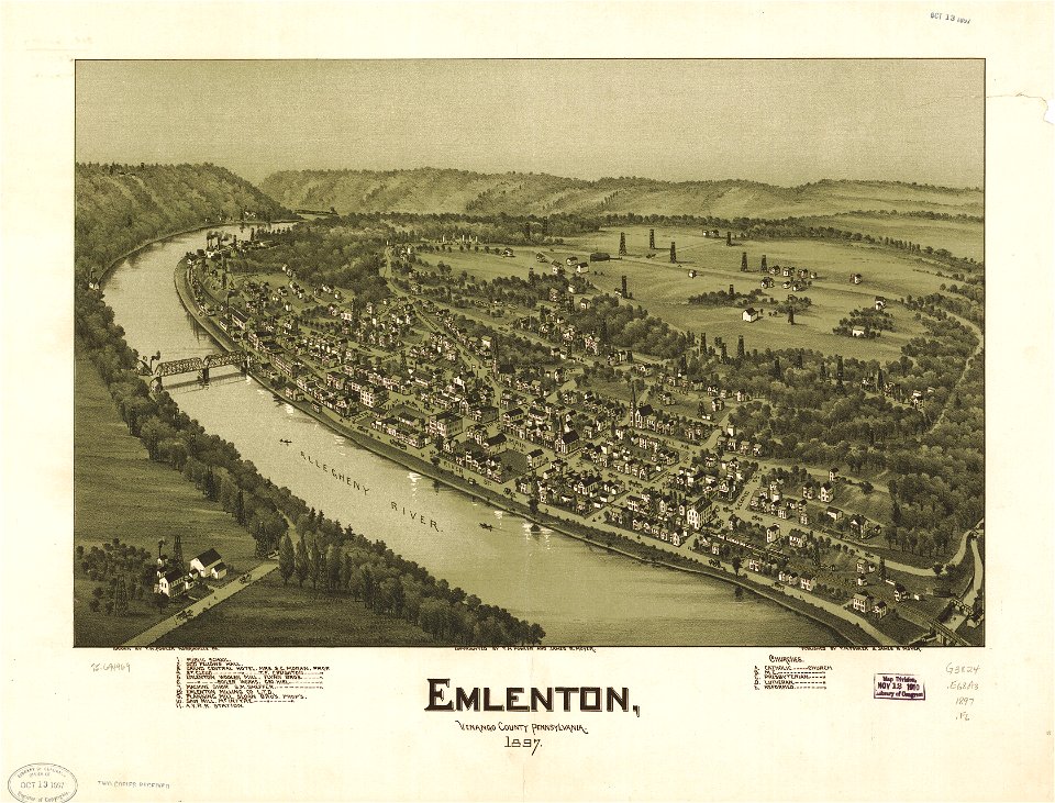
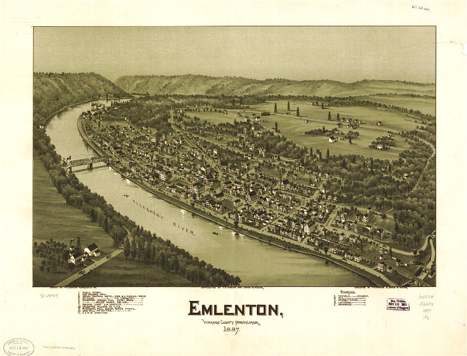
pennsylvania
maps in the library of congress
pennsylvania
maps in the library of congress
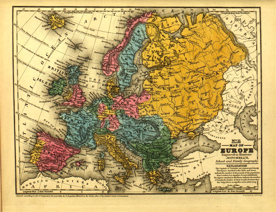
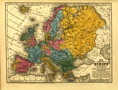
mitchell's school atlas
maps in the library of congress
mitchell's school atlas
description de l'universe
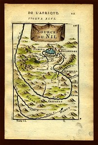
old maps of the nile
17th-century maps of ethiopia
description de l'universe
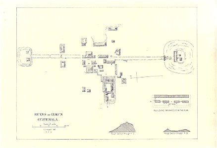
maps of the mayas
1899 books
maps in the stadsarchief amsterdam
old maps of amsterdam
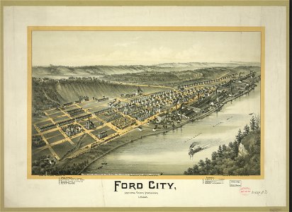
pennsylvania
ford city
maps by willem and johannes blaeu
atlas van loon
maps of paris by braun & hogenberg
maps of paris from paris musées
old maps of islands of the aegean sea
giuseppe rosaccio
maps by pieter pourbus
1570s maps
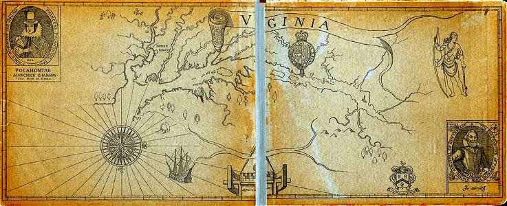
old maps of virginia
captain john smith
geographical illustrations by coronelli
maps of lefkada
maps of paris by braun & hogenberg
maps of paris from paris musées
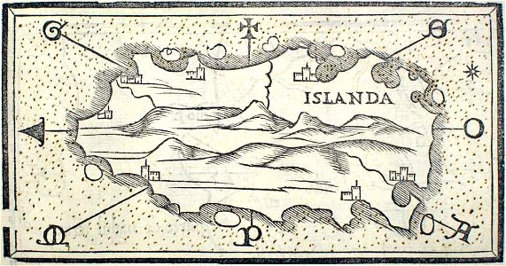
provided by landsbókasafn íslands
maps by giacomo gastaldi
provided by landsbókasafn íslands
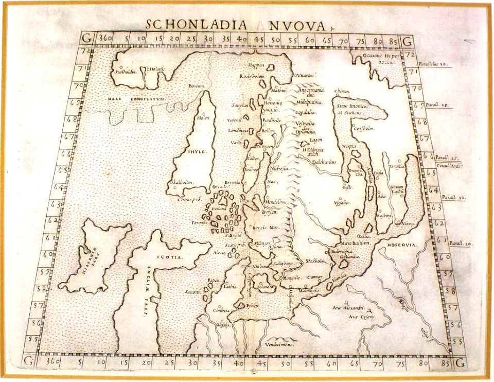
16th-century maps of iceland
old maps of greece
giovanni camocio
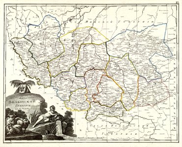
atlas of the russian empire (1800)
maps of volyn governorate
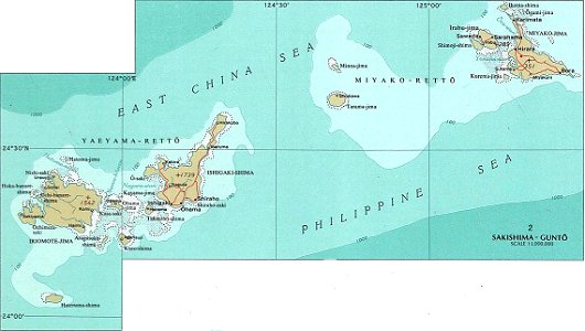
national atlas maps of occupied ryukyu islands
maps of sakishima islands
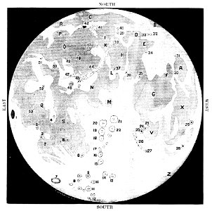
old maps of the moon
1887 maps
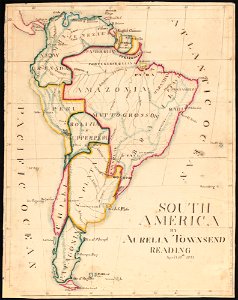
aurelia townsend herrick
1831 maps
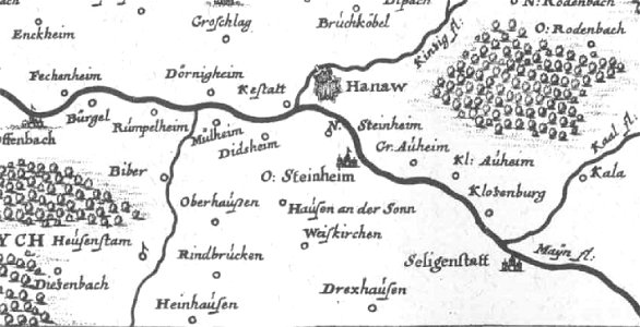
offenbach-bieber
maps of hanau
pennsylvania
sheffield
pennsylvania
sheffield
provided by landsbókasafn íslands
maps by giacomo gastaldi
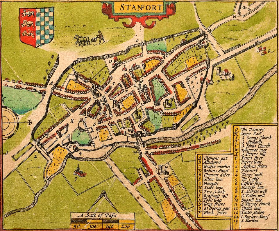
lincolnshire
stamford
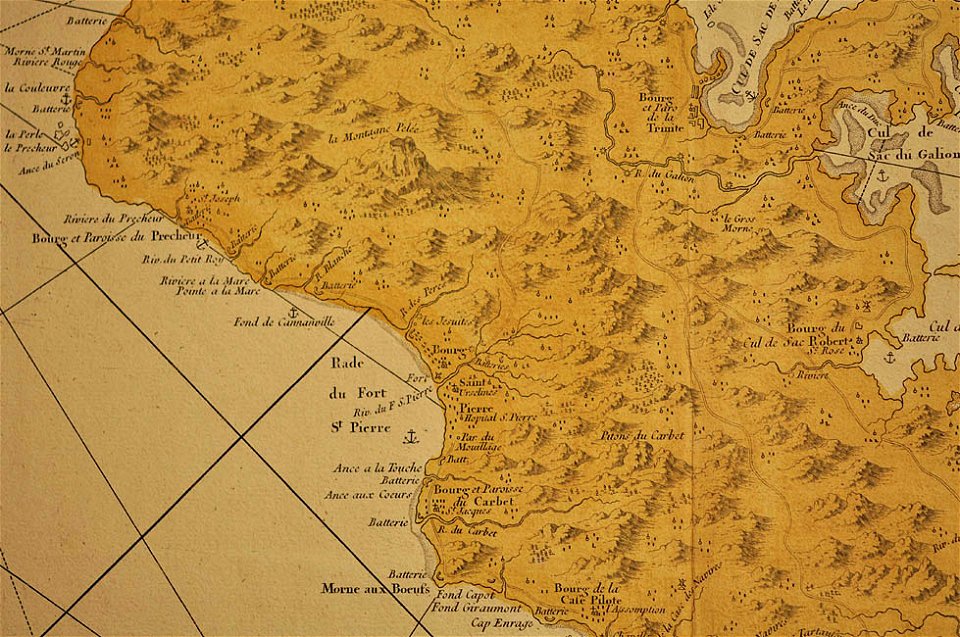
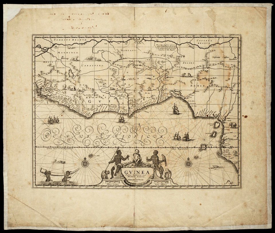
16th-century maps of the caribbean
theodor de bry
lucas janszoon waghenaer
1588 maps
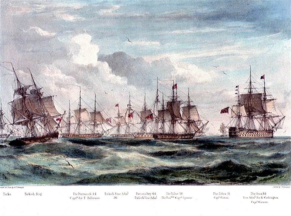
charts and maps of the royal museums greenwich
1682 maps
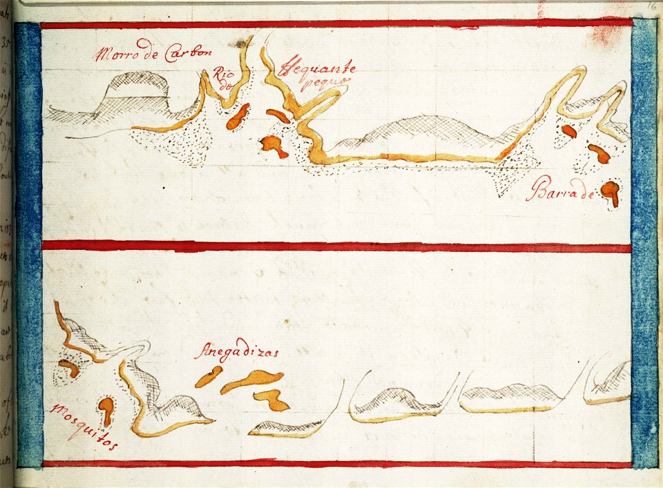
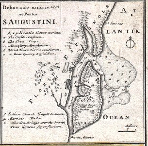
florida
1730s
british paintings in the california palace of the legion of honor
19th-century paintings of susanna and the elders
london
1813
1810s interiors in art
people as animals
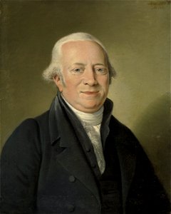
1810s portrait paintings of men
sideburn
portraits of composers
facing left
chromolithograph
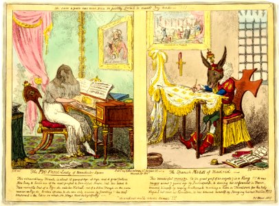
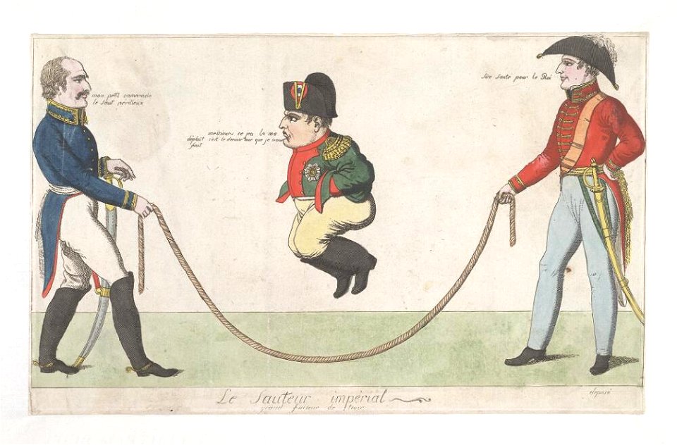
1815 lithographs
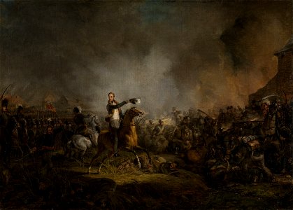
19th-century paintings of battles
william ii of the netherlands
generals of the united kingdom
charles picart
london
1813
london
1813
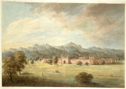
historical images of uttar pradesh
yusufzai
old maps of vietnam
1899
maps made in the 17th century
maps by nicolaes visscher i
maps made in the 17th century
old maps of westphalia
maps made in the 17th century
maps by pieter schenk (i)
maps made in the 17th century
maps by nicolaes visscher i
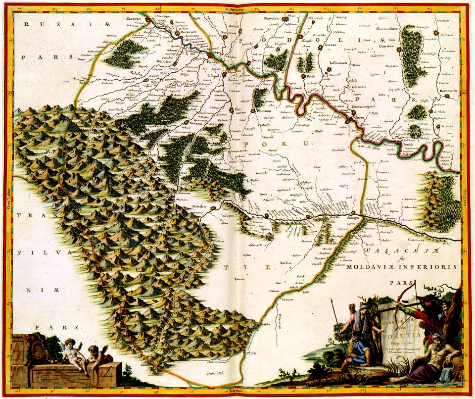
old maps of the history of hungary
old maps of the ottoman empire
maps made in the 17th century
maps by nicolaes visscher i
maps by joseph hutchins colton
1857 maps of massachusetts
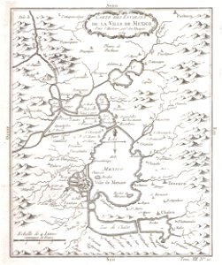
old maps of mexico
mexico
atlantis magni tomus quintus (biblioteca comunale di trento)
maps made in the 18th century
maps with cartouches
atlas van der hagen
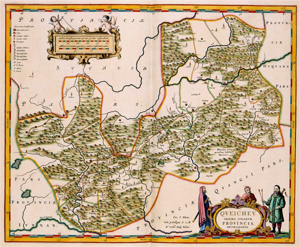
17th-century maps of china
guizhou
old maps of hesdin
old maps of france
maps with cartouches
vercelli
maps with cartouches
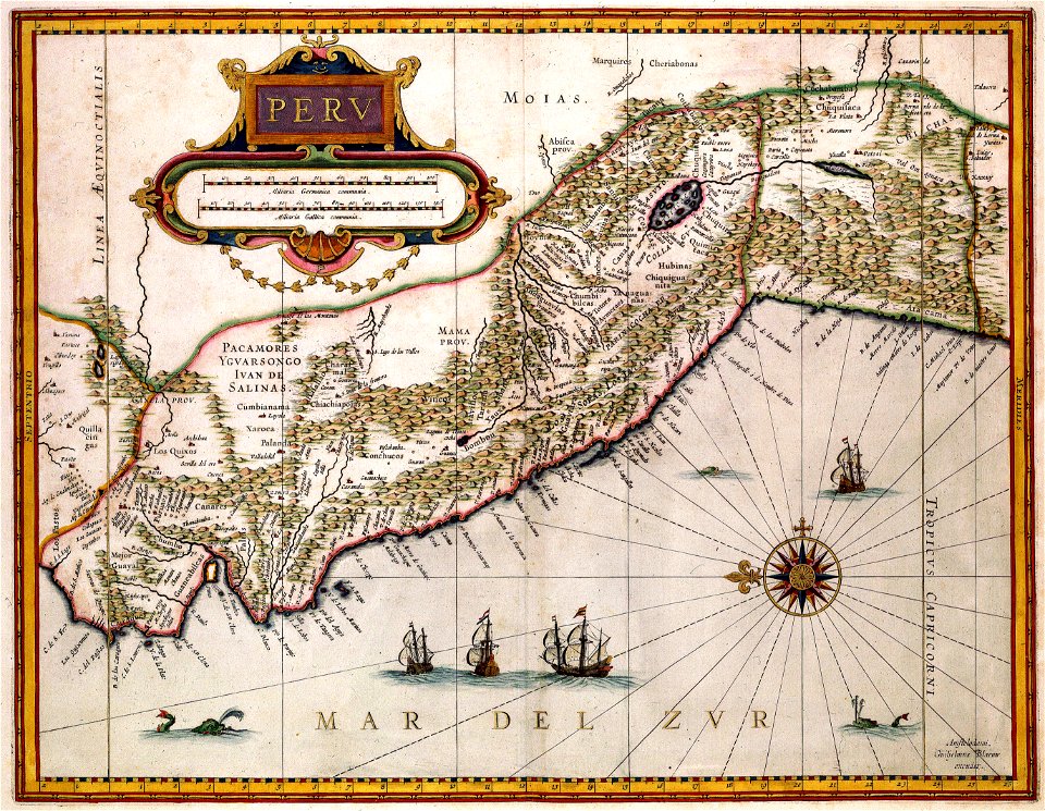
old maps of peru
maps made in the 17th century
maps by nicolaes visscher i
dutch-language maps
johannes ratelband
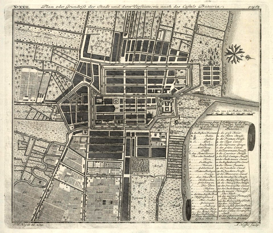
kota tua
batavia
maps by pieter schenk (i)
gerard valck
maps made in the 17th century
maps by pieter schenk (i)
johann baptist homann
latin-language maps
hatched coats of arms
atlantic ocean
fonds ancely - bibliothèque municipale de toulouse - maps
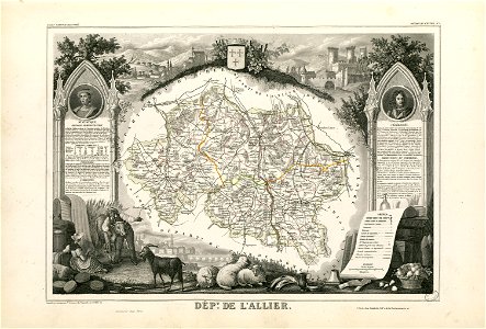
coats of arms of cities in allier
fonds ancely - bibliothèque municipale de toulouse - maps
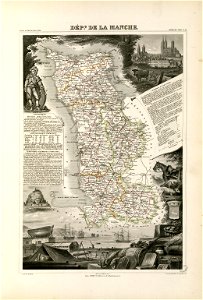
coats of arms of cities in manche
coats of arms of cities in eure
old maps of eure
fonds ancely - bibliothèque municipale de toulouse - maps
victor levasseur - maps of france
old maps of algeria
bodleian library
maps made in the 17th century
maps by nicolaes visscher i
4201 - 4300 of 35,787
Next page
/ 358